
Alvites topographic map
Interactive map
Click on the map to display elevation.
About this map
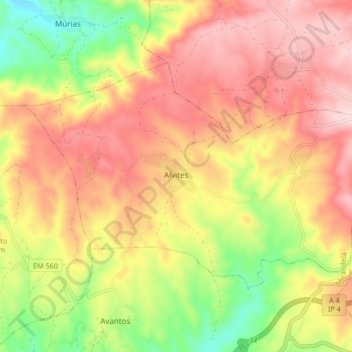
Name: Alvites topographic map, elevation, terrain.
Location: Alvites, Mirandela, Distrito de Bragança, Portugal (41.54981 -7.11967 41.59009 -7.03624)
Average elevation: 499 m
Minimum elevation: 309 m
Maximum elevation: 649 m