
Târgu Cărbunești topographic map
Interactive map
Click on the map to display elevation.
About this map
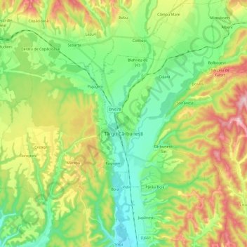
Name: Târgu Cărbunești topographic map, elevation, terrain.
Location: Târgu Cărbunești, Gorj, Romania (44.91691 23.39516 45.01704 23.62023)
Average elevation: 278 m
Minimum elevation: 173 m
Maximum elevation: 464 m
Other topographic maps
Click on a map to view its topography, its elevation and its terrain.