
La Senne topographic map
Interactive map
Click on the map to display elevation.
About this map
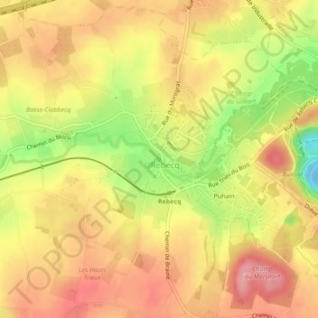
Name: La Senne topographic map, elevation, terrain.
Average elevation: 70 m
Minimum elevation: -18 m
Maximum elevation: 112 m
Other topographic maps
Click on a map to view its topography, its elevation and its terrain.
Puhain
Belgique > Brabant wallon > Nivelles > Rebecq-Rognon > Rebecq > Puhain
Puhain, Rebecq, Rebecq-Rognon, Rebecq, Nivelles, Brabant wallon, Wallonie, 1430, Belgique
Average elevation: 73 m