
Erwetegem topographic map
Interactive map
Click on the map to display elevation.
About this map
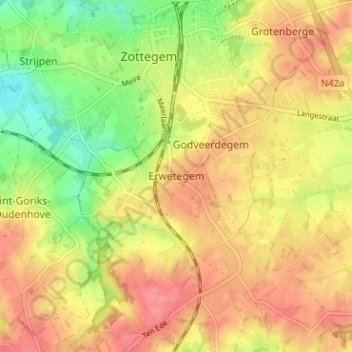
Name: Erwetegem topographic map, elevation, terrain.
Location: Erwetegem, Aalst, Oost-Vlaanderen, Vlaanderen, 9620, België (50.83583 3.79423 50.87583 3.83423)
Average elevation: 71 m
Minimum elevation: 28 m
Maximum elevation: 102 m