
Oakwood topographic map
Interactive map
Click on the map to display elevation.
About this map
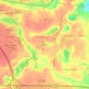
Name: Oakwood topographic map, elevation, terrain.
Average elevation: 274 m
Minimum elevation: 231 m
Maximum elevation: 290 m
Other topographic maps
Click on a map to view its topography, its elevation and its terrain.
Milwood
United States > Michigan > Kalamazoo County > Kalamazoo > Milwood
Milwood, Kalamazoo, Kalamazoo County, Michigan, 49001, United States
Average elevation: 255 m