
Thank you for supporting this site ❤️
Make a donation
Make a donation
Put van Ekeren topographic map
Click on the map to display elevation.
Thank you for supporting this site ❤️
Make a donation
Make a donation
About this map
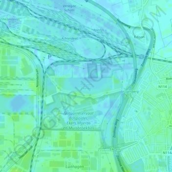
Name: Put van Ekeren topographic map, elevation, terrain.
Location: Put van Ekeren, Edison, Ekeren, Antwerpen, Vlaanderen, België (51.28203 4.38950 51.28474 4.40395)
Average elevation: 3 m
Minimum elevation: -3 m
Maximum elevation: 9 m
Thank you for supporting this site ❤️
Make a donation
Make a donation