
Thank you for supporting this site ❤️
Make a donation
Make a donation
Lac Perras topographic map
Click on the map to display elevation.
Thank you for supporting this site ❤️
Make a donation
Make a donation
About this map
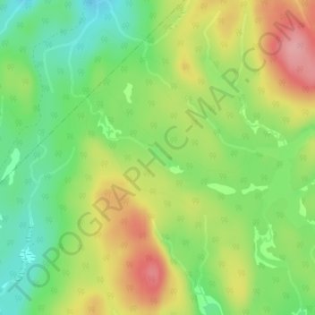
Name: Lac Perras topographic map, elevation, terrain.
Average elevation: 507 m
Minimum elevation: 454 m
Maximum elevation: 573 m
Thank you for supporting this site ❤️
Make a donation
Make a donation
Other topographic maps
Click on a map to view its topography, its elevation and its terrain.
Zec de la Maison-de-Pierre
Canada > Québec > Antoine-Labelle > Baie-des-Chaloupes
Average elevation: 431 m