
Kooba topographic map
Interactive map
Click on the map to display elevation.
About this map
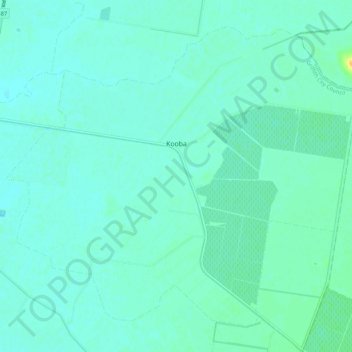
Name: Kooba topographic map, elevation, terrain.
Average elevation: 127 m
Minimum elevation: 122 m
Maximum elevation: 149 m
Other topographic maps
Click on a map to view its topography, its elevation and its terrain.
Lake Wyangan
Australia > New South Wales > Griffith City Council
Lake Wyangan, Griffith City Council, New South Wales, 2680, Australia
Average elevation: 122 m
Willbriggie
Australia > New South Wales > Griffith City Council
Willbriggie, Griffith City Council, New South Wales, 2680, Australia
Average elevation: 125 m