
Macon topographic map
Interactive map
Click on the map to display elevation.
About this map
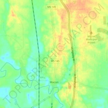
Name: Macon topographic map, elevation, terrain.
Location: Macon, Noxubee County, Mississippi, United States (33.09063 -88.57281 33.15213 -88.54514)
Average elevation: 62 m
Minimum elevation: 44 m
Maximum elevation: 81 m