
Punta Nordend topographic map
Interactive map
Click on the map to display elevation.
About this map
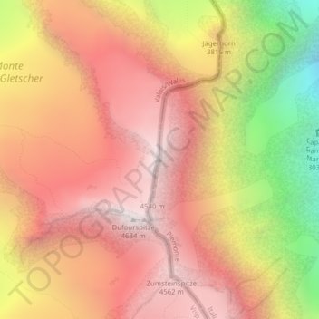
Name: Punta Nordend topographic map, elevation, terrain.
Location: Punta Nordend, Macugnaga, VB, Piemonte, Italia (45.94194 7.86988 45.94204 7.86998)
Average elevation: 3,921 m
Minimum elevation: 2,774 m
Maximum elevation: 4,619 m