
Reuilly topographic map
Interactive map
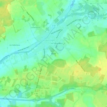
Click on the map to display elevation.
About this map
Name: Reuilly topographic map, elevation, terrain.
Average elevation: 113 m
Minimum elevation: 102 m
Maximum elevation: 126 m
Other topographic maps
Click on a map to view its topography, its elevation and its terrain.
Les Sapins Bleus
France > Centre-Val de Loire > Loiret > Fay-aux-Loges
Les Sapins Bleus, Fay-aux-Loges, Orléans, Loiret, Centre-Val de Loire, France métropolitaine, 45450, France
Average elevation: 113 m