
Kittrell topographic map
Interactive map
Click on the map to display elevation.
About this map
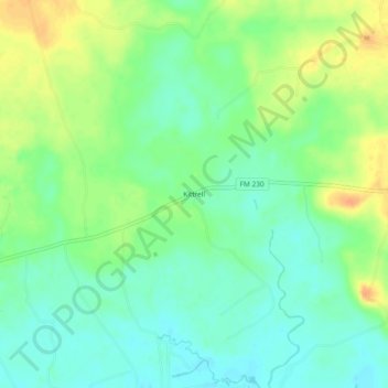
Name: Kittrell topographic map, elevation, terrain.
Location: Kittrell, Walker County, Texas, United States (30.94546 -95.51633 30.98546 -95.47633)
Average elevation: 55 m
Minimum elevation: 40 m
Maximum elevation: 76 m
Other topographic maps
Click on a map to view its topography, its elevation and its terrain.
Huntsville
United States > Texas > Walker County
Huntsville, Walker County, Texas, United States
Average elevation: 110 m
New Waverly
United States > Texas > Walker County
New Waverly, Walker County, Texas, United States
Average elevation: 104 m