
Viviers topographic map
Interactive map
Click on the map to display elevation.
About this map
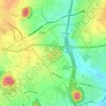
Name: Viviers topographic map, elevation, terrain.
Location: Viviers, Gilly, Charleroi, Henegouwen, Wallonië, 6060, België (50.40985 4.48076 50.42985 4.50076)
Average elevation: 135 m
Minimum elevation: 99 m
Maximum elevation: 184 m
Other topographic maps
Click on a map to view its topography, its elevation and its terrain.
Goutroux
België > Henegouwen > Charleroi
Goutroux, Charleroi, Henegouwen, Wallonië, 6030, België
Average elevation: 150 m