
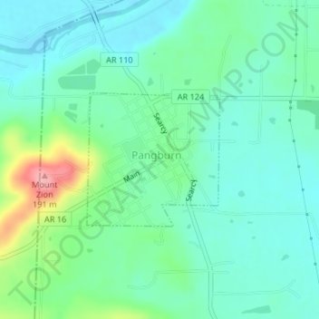
Pangburn topographic map
Interactive map
Click on the map to display elevation.
About this map
Name: Pangburn topographic map, elevation, terrain.
Location: Pangburn, White County, Arkansas, United States (35.42025 -91.84604 35.43155 -91.83224)
Average elevation: 102 m
Minimum elevation: 72 m
Maximum elevation: 191 m