
Aïn El Hadjel topographic map
Interactive map
Click on the map to display elevation.
About this map
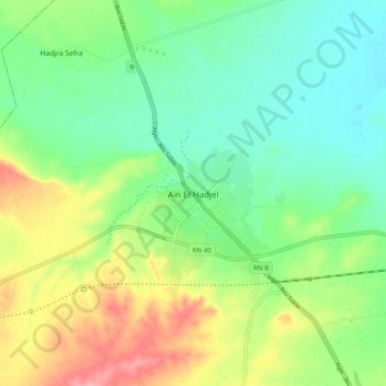
Name: Aïn El Hadjel topographic map, elevation, terrain.
Location: Aïn El Hadjel, Daïra Aïn El Hadjel, M'Sila, Algérie (35.63466 3.84215 35.71466 3.92215)
Average elevation: 560 m
Minimum elevation: 518 m
Maximum elevation: 636 m