
咸阳北路街道 topographic map
Interactive map
Click on the map to display elevation.
About this map
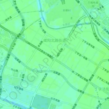
Name: 咸阳北路街道 topographic map, elevation, terrain.
Location: 咸阳北路街道, 红桥区, 天津市, 中国 (39.17206 117.12686 39.19075 117.15530)
Average elevation: 7 m
Minimum elevation: 2 m
Maximum elevation: 9 m
Other topographic maps
Click on a map to view its topography, its elevation and its terrain.