
勐满农场 topographic map
Interactive map
Click on the map to display elevation.
About this map
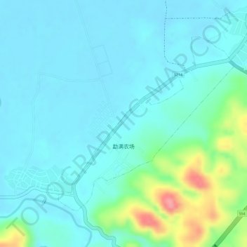
Name: 勐满农场 topographic map, elevation, terrain.
Location: 勐满农场, 勐腊县, 西双版纳傣族自治州, 云南省, 666100, 中国 (21.38823 101.30742 21.40729 101.32806)
Average elevation: 588 m
Minimum elevation: 567 m
Maximum elevation: 668 m
Other topographic maps
Click on a map to view its topography, its elevation and its terrain.
西双版纳热带植物园-百竹园
西双版纳热带植物园-百竹园, 勐仑镇, 勐腊县, 西双版纳傣族自治州, 云南省, 666100, 中国
Average elevation: 559 m