
Val Saint-Lambert topographic map
Interactive map
Click on the map to display elevation.
About this map
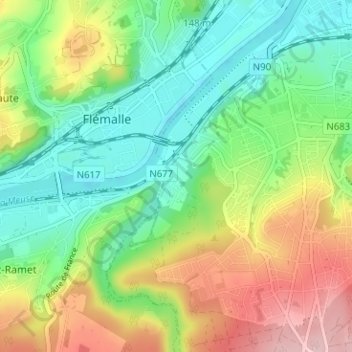
Name: Val Saint-Lambert topographic map, elevation, terrain.
Location: Val Saint-Lambert, Seraing, Liège, Wallonie, 4100, Belgique (50.57298 5.46242 50.61298 5.50242)
Average elevation: 127 m
Minimum elevation: 54 m
Maximum elevation: 248 m