
松坎镇 topographic map
Interactive map
Click on the map to display elevation.
About this map
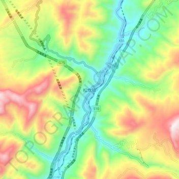
Name: 松坎镇 topographic map, elevation, terrain.
Location: 松坎镇, 桐梓县, 贵州省, 中国 (28.50212 106.81705 28.58212 106.89705)
Average elevation: 809 m
Minimum elevation: 388 m
Maximum elevation: 1,438 m
Other topographic maps
Click on a map to view its topography, its elevation and its terrain.