
Ohrdruf topographic map
Click on the map to display elevation.
About this map
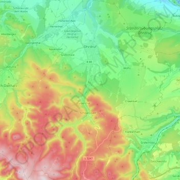
Name: Ohrdruf topographic map, elevation, terrain.
Location: Ohrdruf, Landkreis Gotha, Thuringia, 99885, Germany (50.71568 10.63015 50.86566 10.85992)
Average elevation: 518 m
Minimum elevation: 288 m
Maximum elevation: 890 m
Other topographic maps
Click on a map to view its topography, its elevation and its terrain.