
South Owego topographic map
Interactive map
Click on the map to display elevation.
About this map
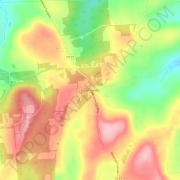
Name: South Owego topographic map, elevation, terrain.
Average elevation: 442 m
Minimum elevation: 348 m
Maximum elevation: 518 m
Other topographic maps
Click on a map to view its topography, its elevation and its terrain.
Town of Owego
United States > New York > Tioga County > Town of Owego
Town of Owego, Tioga County, New York, United States
Average elevation: 358 m
Apalachin
United States > New York > Tioga County > Town of Owego
Apalachin, Town of Owego, Tioga County, New York, 13732, United States
Average elevation: 298 m