
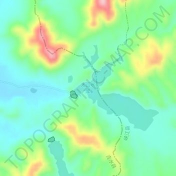
太山水库 topographic map
Interactive map
Click on the map to display elevation.
About this map
Name: 太山水库 topographic map, elevation, terrain.
Location: 太山水库, 八都镇, 吉水县, 吉安市, 江西省, 中国 (27.44033 115.32059 27.45358 115.33537)
Average elevation: 126 m
Minimum elevation: 76 m
Maximum elevation: 239 m
太山水库是中国江西省吉安市吉水县八都镇境内的一座水库,位于赣江水系住歧支流上,建于1959年。水库正常库容为920万立方米,平均水深为12.00米,集雨面积为15平方千米,海拔为104.5米。