
太华镇 topographic map
Interactive map
Click on the map to display elevation.
About this map
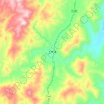
Name: 太华镇 topographic map, elevation, terrain.
Location: 太华镇, 大田县, 三明市, 福建省, 中国 (25.77829 117.67961 25.85829 117.75961)
Average elevation: 725 m
Minimum elevation: 374 m
Maximum elevation: 1,173 m
Other topographic maps
Click on a map to view its topography, its elevation and its terrain.