
Crowningshield topographic map
Interactive map
Click on the map to display elevation.
About this map
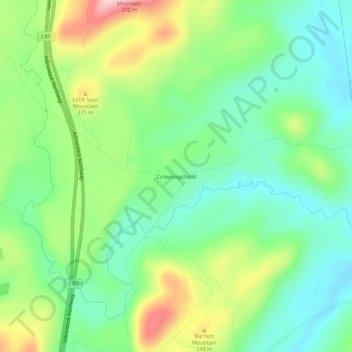
Name: Crowningshield topographic map, elevation, terrain.
Average elevation: 183 m
Minimum elevation: 107 m
Maximum elevation: 326 m
Other topographic maps
Click on a map to view its topography, its elevation and its terrain.
Deerhead
United States > New York > Essex County > Town of Lewis
Deerhead, Town of Lewis, Essex County, New York, United States
Average elevation: 253 m
Stowersville
United States > New York > Essex County > Town of Lewis
Stowersville, Town of Lewis, Essex County, New York, 12950, United States
Average elevation: 183 m