
Thank you for supporting this site ❤️
Make a donation
Make a donation
Tornagrain topographic map
Click on the map to display elevation.
Thank you for supporting this site ❤️
Make a donation
Make a donation
About this map
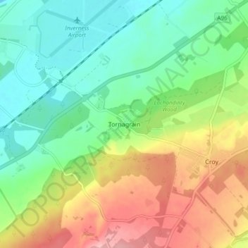
Name: Tornagrain topographic map, elevation, terrain.
Location: Tornagrain, Highland, Scotland, IV2 8AL, United Kingdom (57.50640 -4.05634 57.54640 -4.01634)
Average elevation: 51 m
Minimum elevation: 0 m
Maximum elevation: 134 m
Thank you for supporting this site ❤️
Make a donation
Make a donation
Other topographic maps
Click on a map to view its topography, its elevation and its terrain.