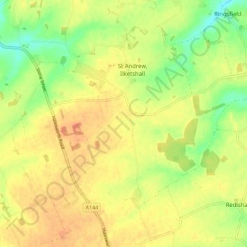
St Andrew, Ilketshall topographic map
Interactive map
Click on the map to display elevation.
About this map
Name: St Andrew, Ilketshall topographic map, elevation, terrain.
Average elevation: 36 m
Minimum elevation: 12 m
Maximum elevation: 53 m

Click on the map to display elevation.
Name: St Andrew, Ilketshall topographic map, elevation, terrain.
Average elevation: 36 m
Minimum elevation: 12 m
Maximum elevation: 53 m