
Colos topographic map
Interactive map
Click on the map to display elevation.
About this map
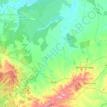
Name: Colos topographic map, elevation, terrain.
Location: Colos, Odemira, Beja, Portugal (37.70754 -8.59004 37.82864 -8.42699)
Average elevation: 130 m
Minimum elevation: 59 m
Maximum elevation: 289 m
Other topographic maps
Click on a map to view its topography, its elevation and its terrain.
Pereiras-Gare
Pereiras-Gare, Odemira, Beja, Portugal
Average elevation: 167 m
Vale de Ferro
Vale de Ferro, Relíquias, Odemira, Beja, Portugal
Average elevation: 132 m