
Loikum topographic map
Interactive map
Click on the map to display elevation.
About this map
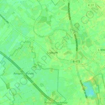
Name: Loikum topographic map, elevation, terrain.
Average elevation: 21 m
Minimum elevation: 12 m
Maximum elevation: 30 m
Other topographic maps
Click on a map to view its topography, its elevation and its terrain.
Mehrhoog
Deutschland > Nordrhein-Westfalen > Kreis Wesel > Hamminkeln
Mehrhoog, Hamminkeln, Kreis Wesel, Nordrhein-Westfalen, Deutschland
Average elevation: 21 m