
Thank you for supporting this site ❤️
Make a donation
Make a donation
Adna topographic map
Click on the map to display elevation.
Thank you for supporting this site ❤️
Make a donation
Make a donation
About this map
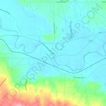
Name: Adna topographic map, elevation, terrain.
Location: Adna, Lewis County, Washington, United States (46.60899 -123.08124 46.64899 -123.04124)
Average elevation: 82 m
Minimum elevation: 49 m
Maximum elevation: 209 m
Thank you for supporting this site ❤️
Make a donation
Make a donation