
麻米乡 topographic map
Interactive map
Click on the map to display elevation.
About this map
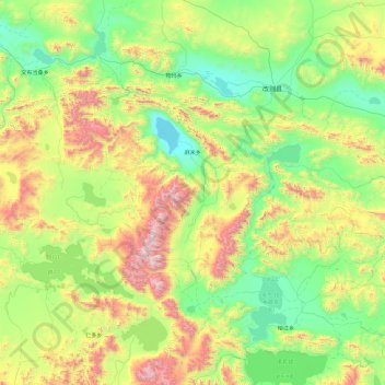
Name: 麻米乡 topographic map, elevation, terrain.
Location: 麻米乡, 改则县, 阿里地区, 西藏自治区, 中国 (31.48169 82.50907 32.25404 84.40101)
Average elevation: 4,876 m
Minimum elevation: 4,337 m
Maximum elevation: 6,564 m
Other topographic maps
Click on a map to view its topography, its elevation and its terrain.