
Storsylen topographic map
Interactive map
Click on the map to display elevation.
About this map
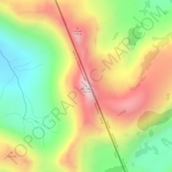
Name: Storsylen topographic map, elevation, terrain.
Location: Storsylen, Tydal, Trøndelag, Norway (63.02020 12.19893 63.02030 12.19903)
Average elevation: 1,375 m
Minimum elevation: 1,036 m
Maximum elevation: 1,761 m
Other topographic maps
Click on a map to view its topography, its elevation and its terrain.
Vetle Skagastølstind
Vetle Skagastølstind, Luster, Sogn og Fjordane, Norway
Average elevation: 1,783 m
Jesus Lever-steinen
Jesus Lever-steinen, Løvstien, Solheims Boretslag, Solheim, Årstad, Gyldenpris, Bergen, Hordaland, 5057, Norway
Average elevation: 100 m