
Tășnad topographic map
Interactive map
Click on the map to display elevation.
About this map
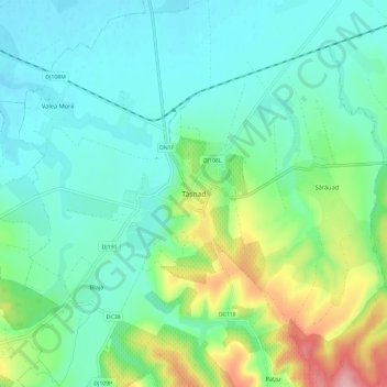
Name: Tășnad topographic map, elevation, terrain.
Location: Tasnad, Tășnad, Satu Mare, 445300, Romania (47.43809 22.54486 47.51809 22.62486)
Average elevation: 160 m
Minimum elevation: 124 m
Maximum elevation: 266 m