
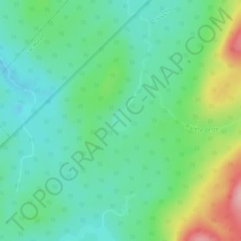
Lac de la Couronne topographic map
Interactive map
Click on the map to display elevation.
About this map
Name: Lac de la Couronne topographic map, elevation, terrain.
Average elevation: 334 m
Minimum elevation: 288 m
Maximum elevation: 444 m
Other topographic maps
Click on a map to view its topography, its elevation and its terrain.
Lac-Rimouski
Canada > Québec > Rimouski-Neigette > Lac-Huron
Lac-Rimouski, Lac-Huron, Rimouski-Neigette, Bas-Saint-Laurent, Québec, Canada
Average elevation: 397 m