
Shell Valley topographic map
Interactive map
Click on the map to display elevation.
About this map
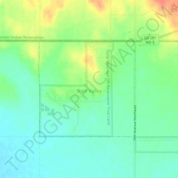
Name: Shell Valley topographic map, elevation, terrain.
Average elevation: 538 m
Minimum elevation: 519 m
Maximum elevation: 572 m
Other topographic maps
Click on a map to view its topography, its elevation and its terrain.
Belcourt
United States > North Dakota > Rolette County
Belcourt, Rolette County, North Dakota, 58316, United States
Average elevation: 601 m
Turtle Mountain
United States > North Dakota > Rolette County
Turtle Mountain, Rolette County, North Dakota, 58329, United States
Average elevation: 705 m