
Zapotitlán topographic map
Interactive map
Click on the map to display elevation.
About this map
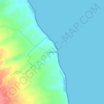
Name: Zapotitlán topographic map, elevation, terrain.
Location: Zapotitlán, Tatahuicapan de Juárez, Veracruz, México (18.48306 -94.80889 18.52306 -94.76889)
Average elevation: 16 m
Minimum elevation: -1 m
Maximum elevation: 81 m