
詹家 topographic map
Interactive map
Click on the map to display elevation.
About this map
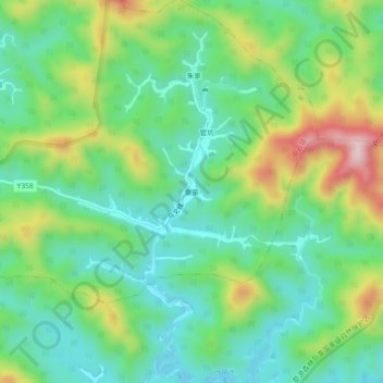
Name: 詹家 topographic map, elevation, terrain.
Location: 詹家, 中云镇, 婺源县, 上饶市, 江西省, 中国 (29.14731 117.75577 29.18731 117.79577)
Average elevation: 199 m
Minimum elevation: 85 m
Maximum elevation: 434 m
Other topographic maps
Click on a map to view its topography, its elevation and its terrain.