
Hugo topographic map
Interactive map
Click on the map to display elevation.
About this map
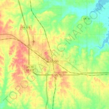
Name: Hugo topographic map, elevation, terrain.
Location: Hugo, Choctaw County, Oklahoma, 74743, United States (33.99499 -95.54756 34.04079 -95.39977)
Average elevation: 155 m
Minimum elevation: 123 m
Maximum elevation: 194 m