
Astin topographic map
Interactive map
Click on the map to display elevation.
About this map
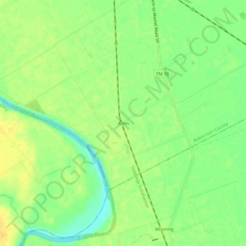
Name: Astin topographic map, elevation, terrain.
Location: Astin, Robertson County, Texas, 77867, United States (30.68686 -96.58330 30.72686 -96.54330)
Average elevation: 76 m
Minimum elevation: 62 m
Maximum elevation: 87 m
Other topographic maps
Click on a map to view its topography, its elevation and its terrain.
Calvert
United States > Texas > Robertson County > Calvert
Calvert, Robertson County, Texas, 77837, United States
Average elevation: 103 m