
Schloß Schwarzenraben topographic map
Interactive map
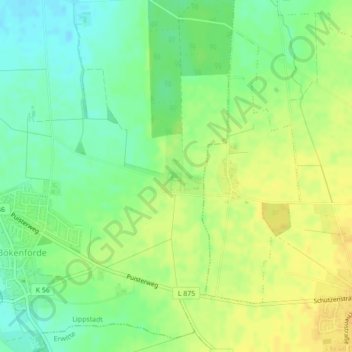
Click on the map to display elevation.
About this map
Name: Schloß Schwarzenraben topographic map, elevation, terrain.
Average elevation: 103 m
Minimum elevation: 89 m
Maximum elevation: 114 m
Other topographic maps
Click on a map to view its topography, its elevation and its terrain.
Schloß Overhagen
Deutschland > Nordrhein-Westfalen > Lippstadt
Schloß Overhagen, 19, Schloßgraben, Overhagen, Lippstadt, Kreis Soest, Regierungsbezirk Arnsberg, Nordrhein-Westfalen, 59556, Deutschland
Average elevation: 78 m