
寿山镇 topographic map
Interactive map
Click on the map to display elevation.
About this map
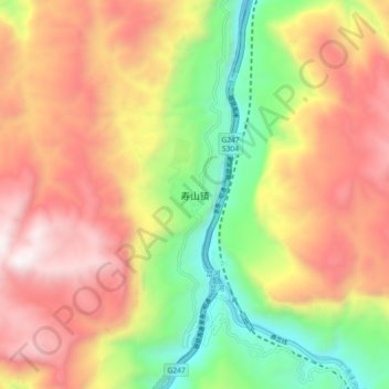
Name: 寿山镇 topographic map, elevation, terrain.
Location: 寿山镇, 昭通市, 云南省, 中国 (27.86698 103.86741 27.94698 103.94741)
Average elevation: 1,338 m
Minimum elevation: 570 m
Maximum elevation: 2,085 m
Other topographic maps
Click on a map to view its topography, its elevation and its terrain.