
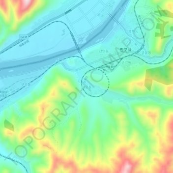
관문동 topographic map
Interactive map
Click on the map to display elevation.
About this map
Name: 관문동 topographic map, elevation, terrain.
Location: 관문동, Manpo, Chagang, North Korea (41.12606 126.25574 41.16606 126.29574)
Average elevation: 274 m
Minimum elevation: 172 m
Maximum elevation: 535 m