
Pilangbango topographic map
Interactive map
Click on the map to display elevation.
About this map
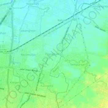
Name: Pilangbango topographic map, elevation, terrain.
Location: Pilangbango, Madiun, East Java, Java, 63102, Indonesia (-7.63940 111.52990 -7.59940 111.56990)
Average elevation: 64 m
Minimum elevation: 56 m
Maximum elevation: 75 m
Other topographic maps
Click on a map to view its topography, its elevation and its terrain.