
雪水河 topographic map
Interactive map
Click on the map to display elevation.
About this map
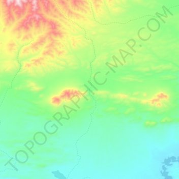
Name: 雪水河 topographic map, elevation, terrain.
Location: 雪水河, 嘎措乡, 双湖县, 那曲市, 西藏自治区, 中国 (36.13725 87.60494 36.32055 87.65813)
Average elevation: 5,139 m
Minimum elevation: 4,936 m
Maximum elevation: 5,670 m
Other topographic maps
Click on a map to view its topography, its elevation and its terrain.