
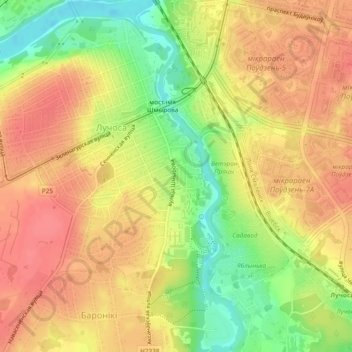
сквер имени Миная Шмырёва topographic map
Interactive map
Click on the map to display elevation.
About this map
Name: сквер имени Миная Шмырёва topographic map, elevation, terrain.
Average elevation: 160 m
Minimum elevation: 122 m
Maximum elevation: 183 m
Other topographic maps
Click on a map to view its topography, its elevation and its terrain.
Юрьева Горка
Беларусь > Витебская область > Витебск
Юрьева Горка, Витебск, Витебская область, 210021, Беларусь
Average elevation: 157 m