
Bay Point topographic map
Interactive map
Click on the map to display elevation.
About this map
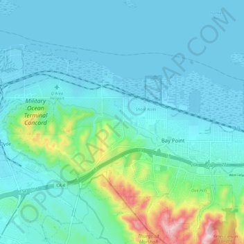
Name: Bay Point topographic map, elevation, terrain.
Average elevation: 49 m
Minimum elevation: -4 m
Maximum elevation: 306 m
Other topographic maps
Click on a map to view its topography, its elevation and its terrain.
Cornwall
United States > California > Contra Costa County > Pittsburg
Cornwall, Pittsburg, Contra Costa County, California, 94565, United States
Average elevation: 15 m