
Arjasa topographic map
Interactive map
Click on the map to display elevation.
About this map
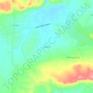
Name: Arjasa topographic map, elevation, terrain.
Location: Arjasa, Sumenep, Indonesia (-6.88491 115.28118 -6.84491 115.32118)
Average elevation: 39 m
Minimum elevation: 1 m
Maximum elevation: 124 m