
Efirli topographic map
Interactive map
Click on the map to display elevation.
About this map
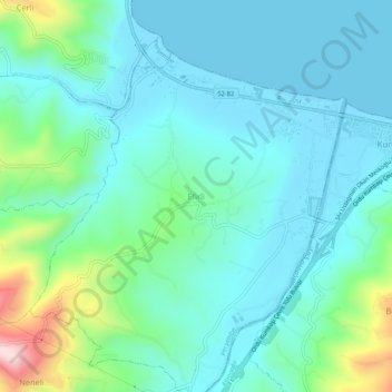
Name: Efirli topographic map, elevation, terrain.
Location: Efirli, Perşembe, Ordu, Black Sea Region, Turkey (40.99146 37.79108 41.03146 37.83108)
Average elevation: 81 m
Minimum elevation: -1 m
Maximum elevation: 409 m