
Beaver topographic map
Interactive map
Click on the map to display elevation.
About this map
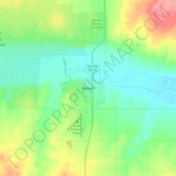
Name: Beaver topographic map, elevation, terrain.
Location: Beaver, Beaver County, Oklahoma, 73932, United States (36.77424 -100.56204 36.85424 -100.48204)
Average elevation: 754 m
Minimum elevation: 721 m
Maximum elevation: 815 m