
Punggur topographic map
Interactive map
Click on the map to display elevation.
About this map
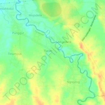
Name: Punggur topographic map, elevation, terrain.
Location: Punggur, Bojonegoro, East Java, Indonesia (-7.23154 111.67871 -7.19154 111.71871)
Average elevation: 43 m
Minimum elevation: 27 m
Maximum elevation: 59 m