
Waterford topographic map
Interactive map
Click on the map to display elevation.
About this map
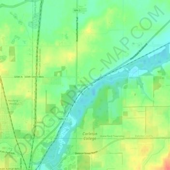
Name: Waterford topographic map, elevation, terrain.
Location: Waterford, Dakota County, Minnesota, 55057, United States (44.46385 -93.16299 44.50385 -93.12299)
Average elevation: 289 m
Minimum elevation: 268 m
Maximum elevation: 319 m